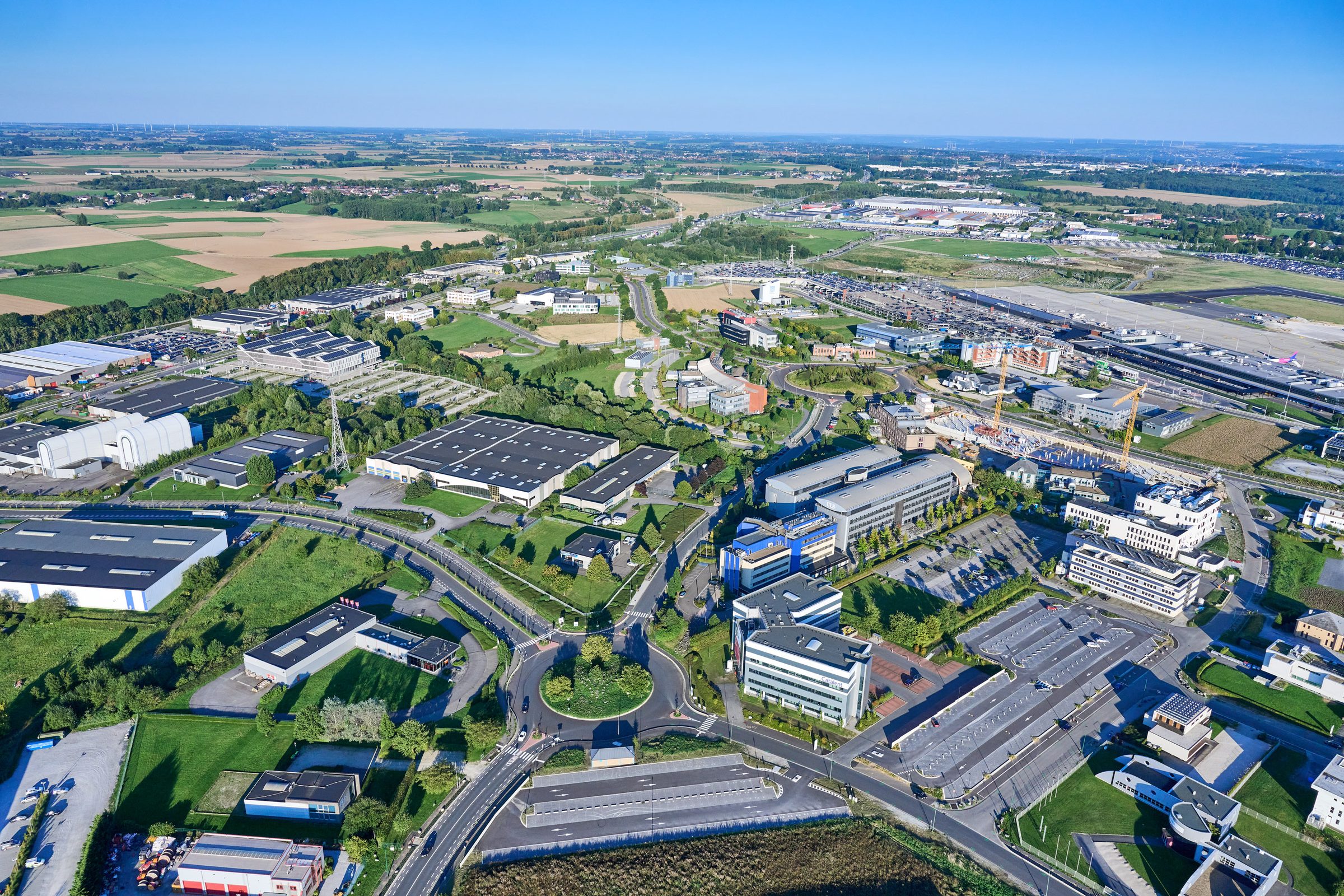
Photo and videoby helicopter.
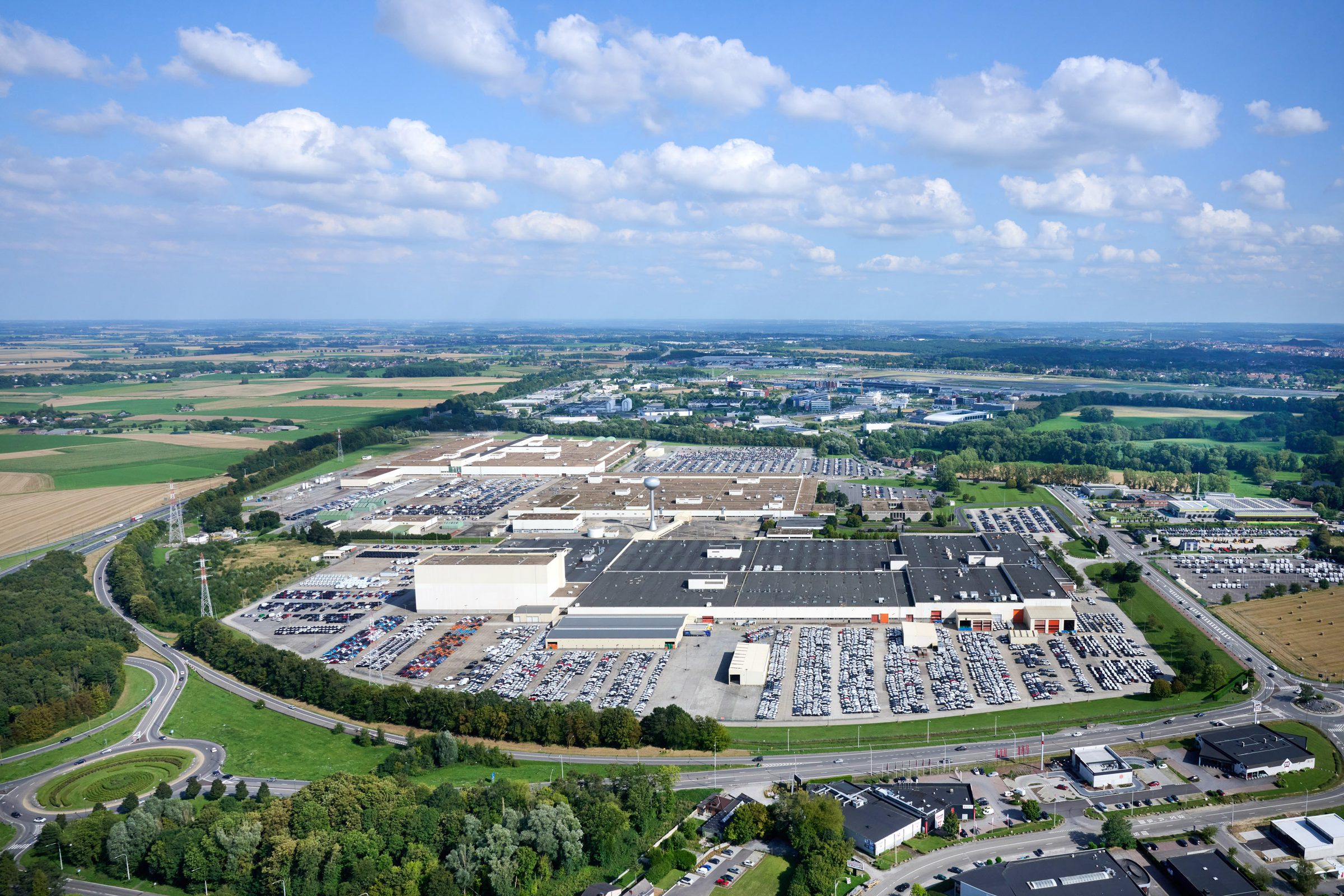
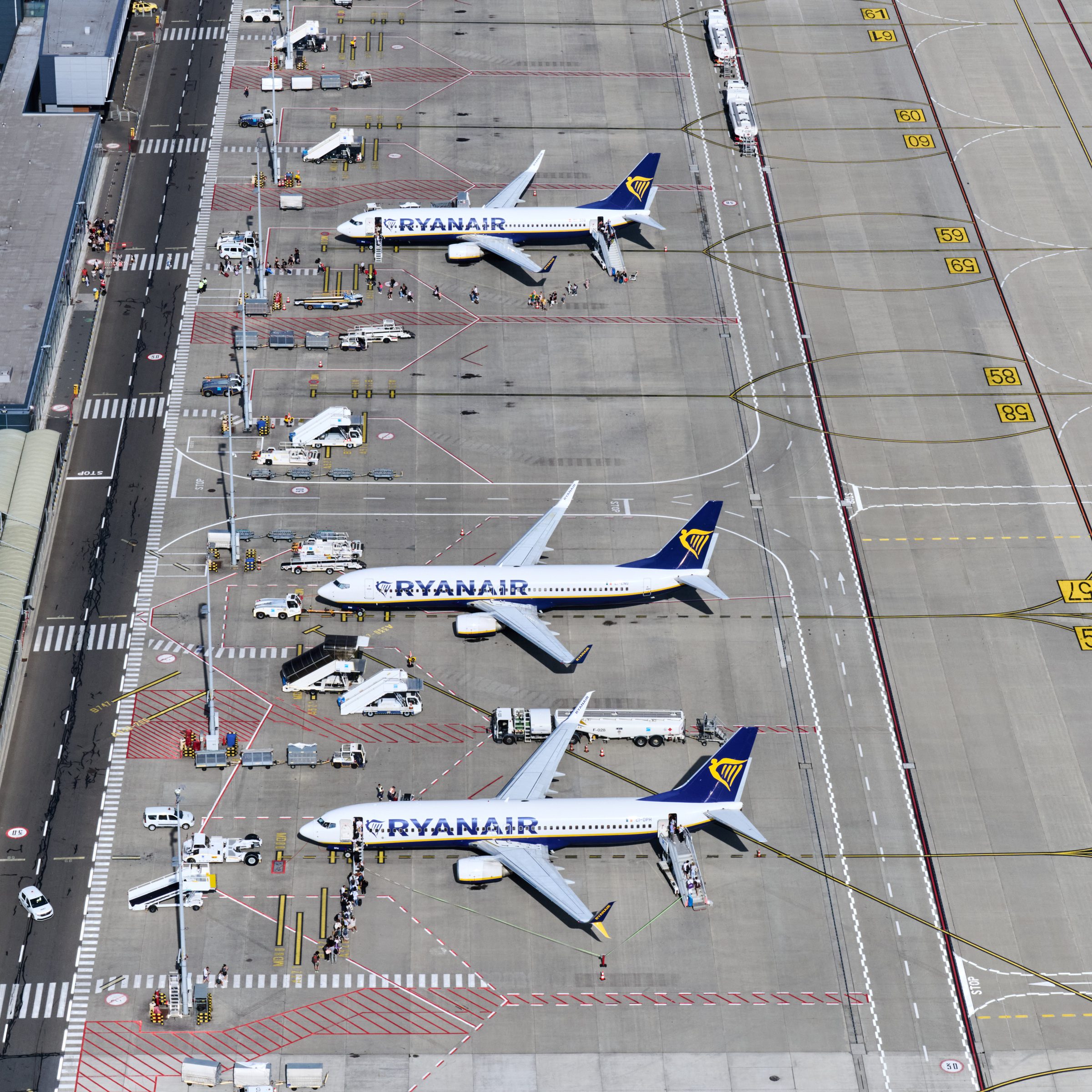
Business parks, land-use planning, quarries, major infrastructure: some projects can only be understood from above. From the helicopter, I photograph and film in very high definition, with the same framing standards as on the ground.
High altitudein the service of your territory.
For your business parks, your land-use projects or your quarries: where the drone stops, the helicopter offers an unrivalled perspective to show your infrastructure, in wide panoramas in very high definition.
Supporting local authorities, intermunicipal bodies and urban planners in showcasing their business parks and monitoring development projects.
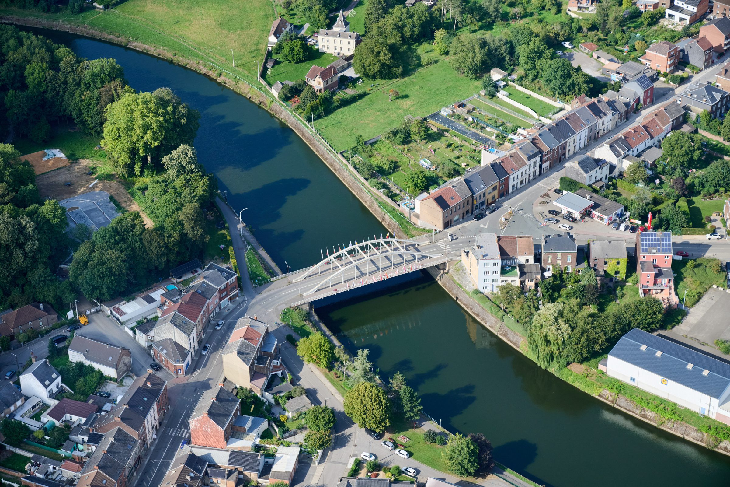
Gaining height to inspect and map complex structures: motorways, viaducts, waterways and major transport networks.
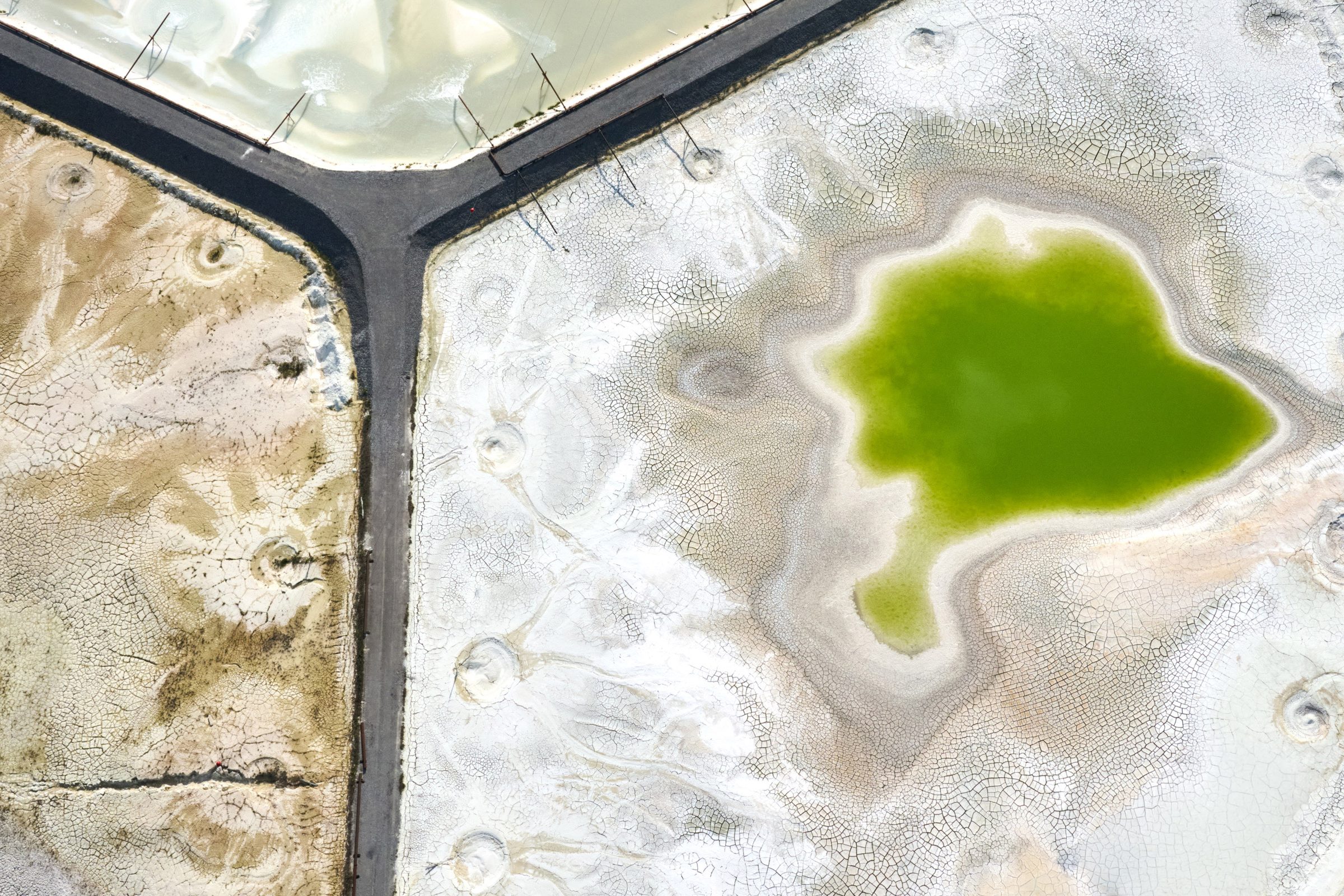
Following the footprint of a site, its quarry faces, its technical installations and how it blends into the landscape, in a single high-definition image.
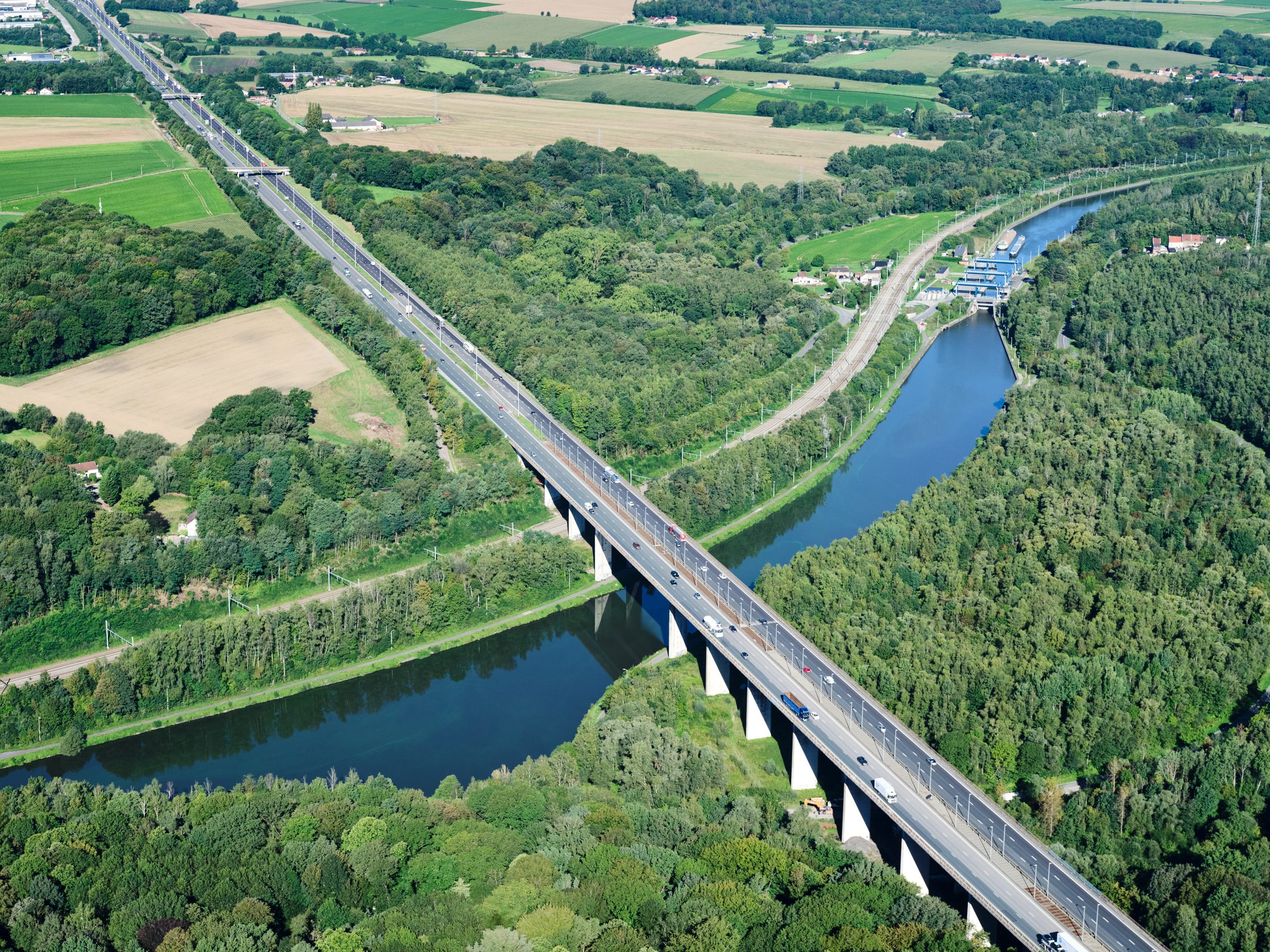
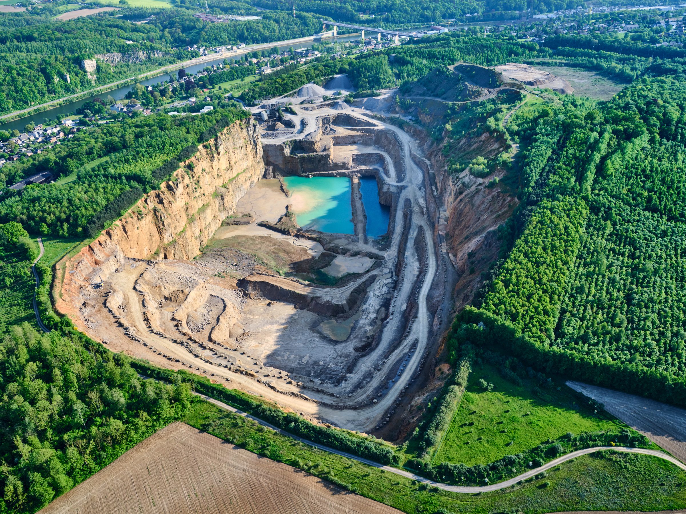
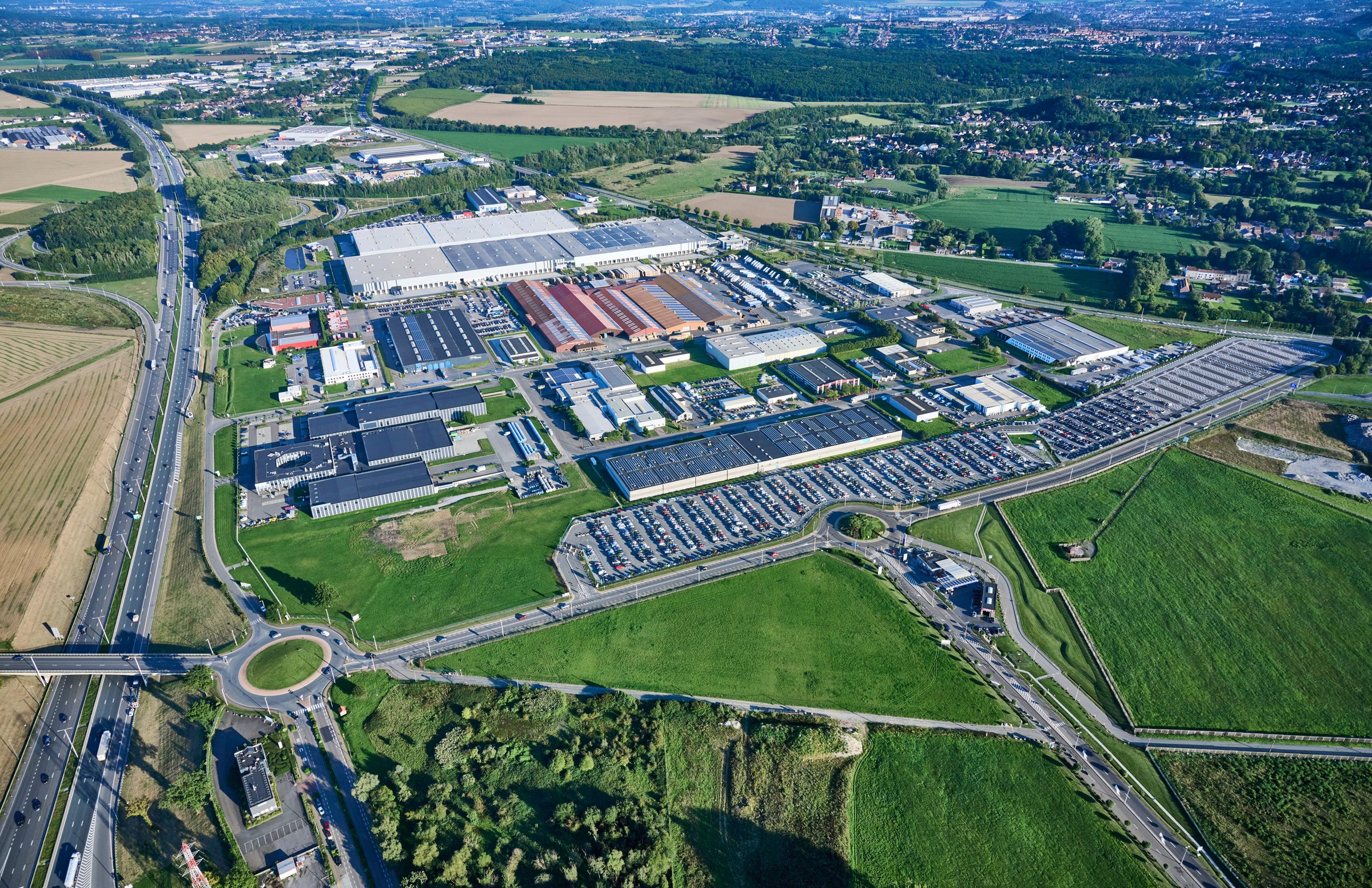
The whole territory,and every detail.
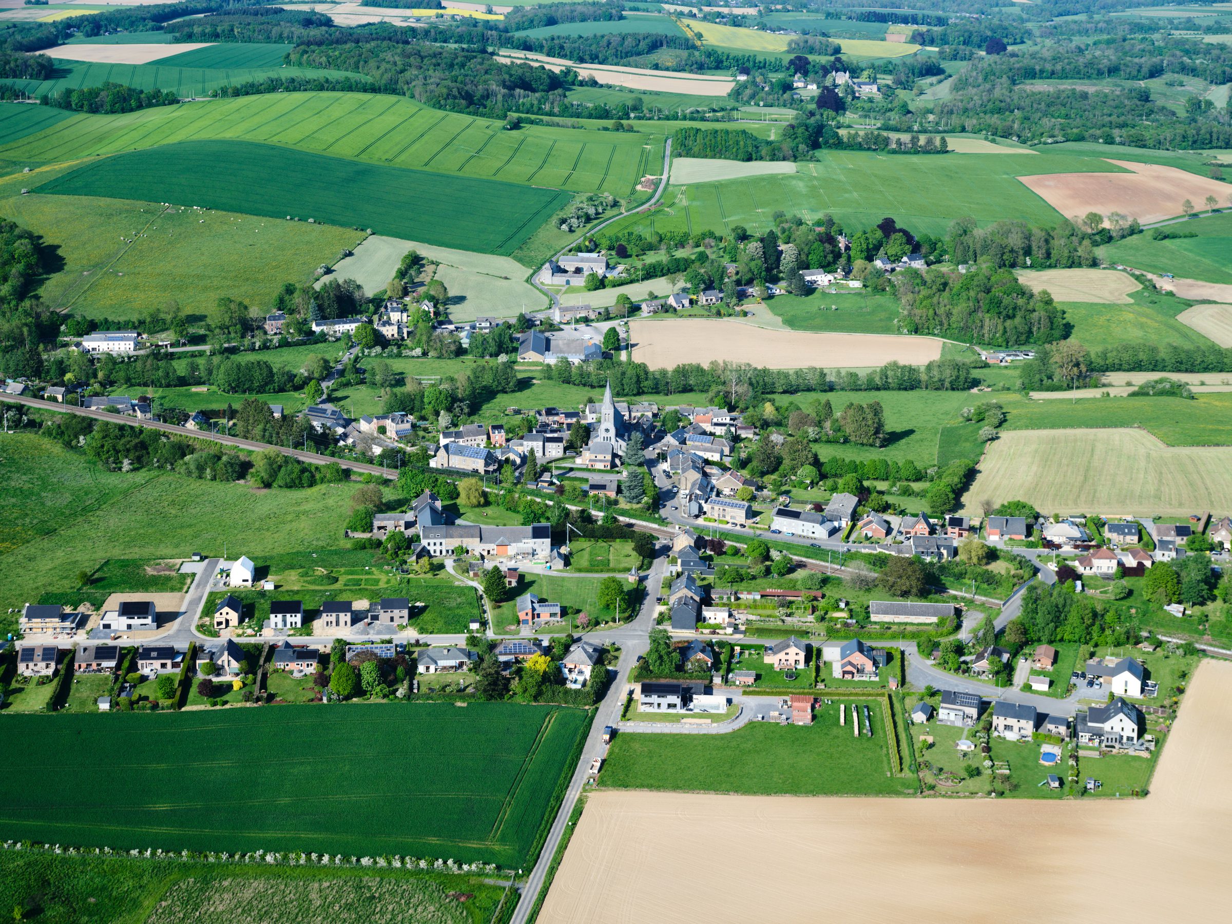
A helicopter view is looked at from afar, then up close: 264 million pixels of Ciney and the Condroz countryside. Click to move closer: the detail holds right to the end.
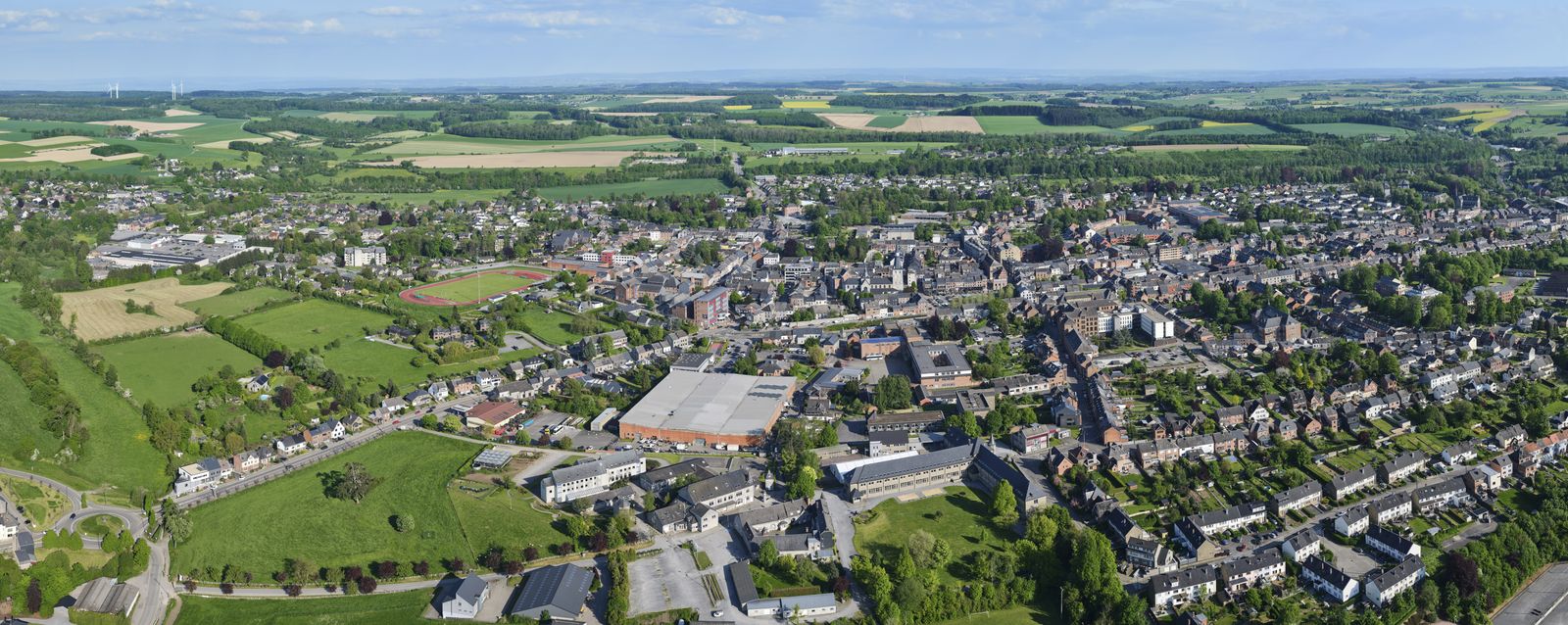 Click to zoom
The right toolfor every project.
Together we choose the means that best serves the project, and I often combine both in the same shoot.
- Flies far higher than a drone
- Covers large areas in a single flight
- Shows the scale of a site or a territory
AircraftRobinson R44, in collaboration with the operator Best in Sky
- Up to 120 m high
- Up close, as near as 4 m beneath a roof
- The building in its town, the detail of a structure
PilotCertified A1-A3 and A2 (Open category), with third-party liability insurance
Helicopter shoots
Urban planning and infrastructureA territoryto show?
Tell me what you want to show, and what it is for: brochure, website, investor presentation, monitoring over time. I will suggest the right flight and viewpoints.